PORTALS
CGIAR’s AWARE platform: promoting early warning of and effective response to climate hazards
The AWARE platform, a vital component of CGIAR's Climate Resilience initiative, stands as a crucial tool connecting early warning systems, proactive measures, and timely financial interventions. Designed for anticipatory action, AWARE empowers stakeholders to mitigate the impact of disasters before they occur, emphasizing multi-level coordination and collaboration for effective responsiveness.

Copernicus Services
Copernicus is the Earth observation component of the European Union’s Space programme, looking at our planet and its environment to benefit all European citizens. It offers information services that draw from satellite Earth Observation and in-situ (non-space) data. The European Commission manages the Programme.
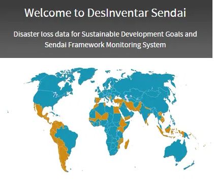
DesInventar Sendai
DesInventar is a conceptual and methodological tool for the generation of National Disaster Inventories and the construction of databases of damage, losses and in general the effects of disasters.

EFFIS - European Forest Fire Information System
The EFFIS - European Forest Fire Information System consists of a modular web geographic information system that provides near real-time and historical information on forest fires and forest fires regimes in the European, Middle Eastern and North African regions. Fire monitoring in EFFIS comprises the full fire cycle, providing information on the pre-fire conditions and assessing post-fire damages.
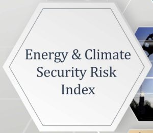
Energy and Climate Security Risk Index (ECSRI)
The Index allows policy-makers and experts to fully reflect on a wide spectrum of risks associated with the high reliance on fossil fuels, as well as the risk mitigation potential of decarbonisation policies. The ECSRI has four pillars, reflecting the four dimensions of energy security risks: geopolitical, affordability, reliability, and sustainability.
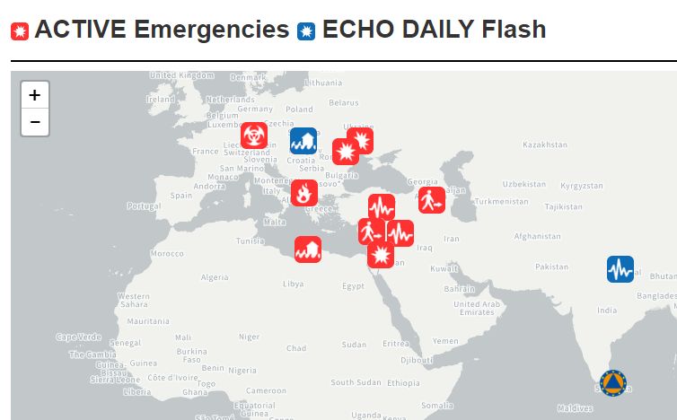
ERCC - Emergency Response Coordination Centre Portal
The portal shows ACTIVE Emergencies and ECHO DAILY Flash reports around the world. User can generate interactive maps based on country, continent, and an extensive list of emergency event types. The daily map provides an overview of a significant event or situation on a daily basis. The maps are related to DG ECHO humanitarian and civil protection interventions or depict events that are expected to have humanitarian consequences.

EM-DAT: The International Disaster Database
EM-DAT contains data on the occurrence and impacts of over 26,000 mass disasters worldwide from 1900 to the present day. The database is compiled from various sources, including UN agencies, non-governmental organizations, reinsurance companies, research institutes, and press agencies. The Centre for Research on the Epidemiology of Disasters (CRED) distributes the data in open access for non-commercial use.

Georgetown Climate Center: Adaptation Clearing House
The Georgetown Climate Center operates the Adaptation Clearinghouse which is an online database and networking site that serves policymakers and others who are working to help communities adapt to climate change.

Global Climate Security Index
The Global Climate Security Index will determine to what extent governments around the world consider climate change to be a national security issue, and how their militaries and national security communities have begun to plan for the effects of climate change.
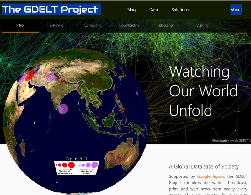
Global Database of Events, Language and Tone (GDELT)
The GDELT Project is a realtime network diagram and database of global human society for open research with specific application to disaster reporting
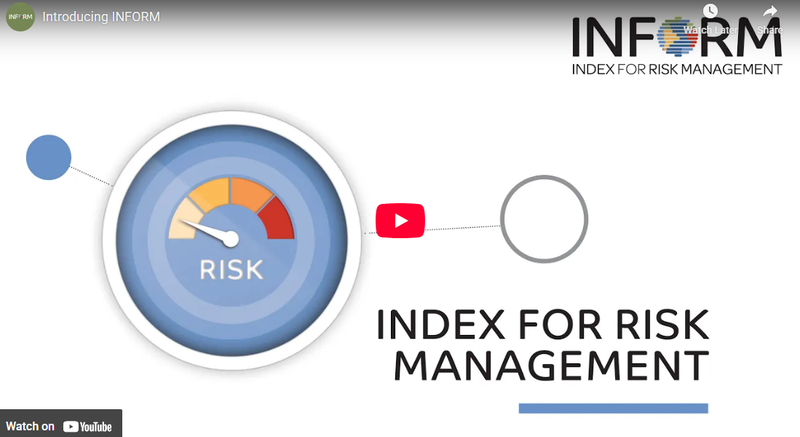
INFORM Risk Index
The INFORM Risk Index is an open index for measuring the risk of humanitarian crises globally. INFORM creates a space and process for shared analysis that can support joint strategy development, planning and action to prevent, prepare for, respond to and recover from crises. This can bring together development, humanitarian and other actors to manage risk and respond better when crises do occur.
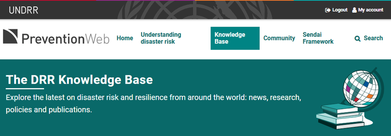
Prevention Web: Data and information management
This knowledge base covers aspects related to hardware, software, networks, and media for the collection, storage, processing, transmission and presentation of information for disaster risk reduction (DRR), as well as related services. It also addresses information management to support knowledge sharing for DRR, such as data exchange standards and taxonomy.